Back to Blog
WaterView at Smart City Expo 2025
The future of resilient cities passes through integration and AI
Latest from WaterView
November 5, 2025

November was a month full of international commitments for WaterView. The month began with a return to the stage of the Smart City Expo World Congress (Barcelona, November 3-5, 2025) to show how computer vision and artificial intelligence can contribute to radically transforming urban management.
In an edition focused on sustainable innovation, WaterView presided over the event with a dual soul: that of technological integration on edge devices and that of excellence in developing versatile visual AI solutions capable of finding multiple applications.
Unity is strength: the partnership with Axis Communications
As an Axis Communications Technology Integration Partner, WaterView was a guest at the Axis stand, demonstrating how its AI algorithms integrate natively with cutting-edge hardware like Axis', transforming simple surveillance cameras into advanced weather and environmental sensors. This is precisely where the strength of WaterView's value proposition lies: it is not necessary to install new, expensive monitoring infrastructures to cope with the new risks brought by climate change in increasingly populated environments, such as 21st-century cities. In fact, it is enough to "enhance" existing ones with visual AI solutions to collect information in real-time and automatically on intense precipitation events or the effects of a snowfall, or to estimate visibility along road infrastructures or promptly identify floods or incipient fires.
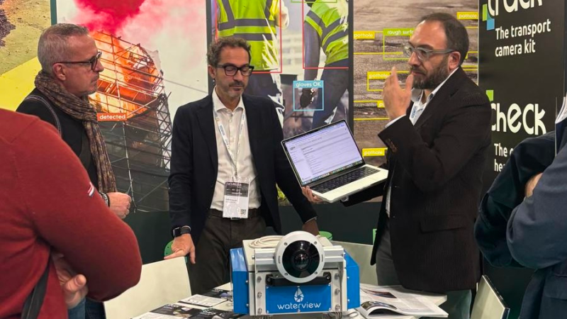
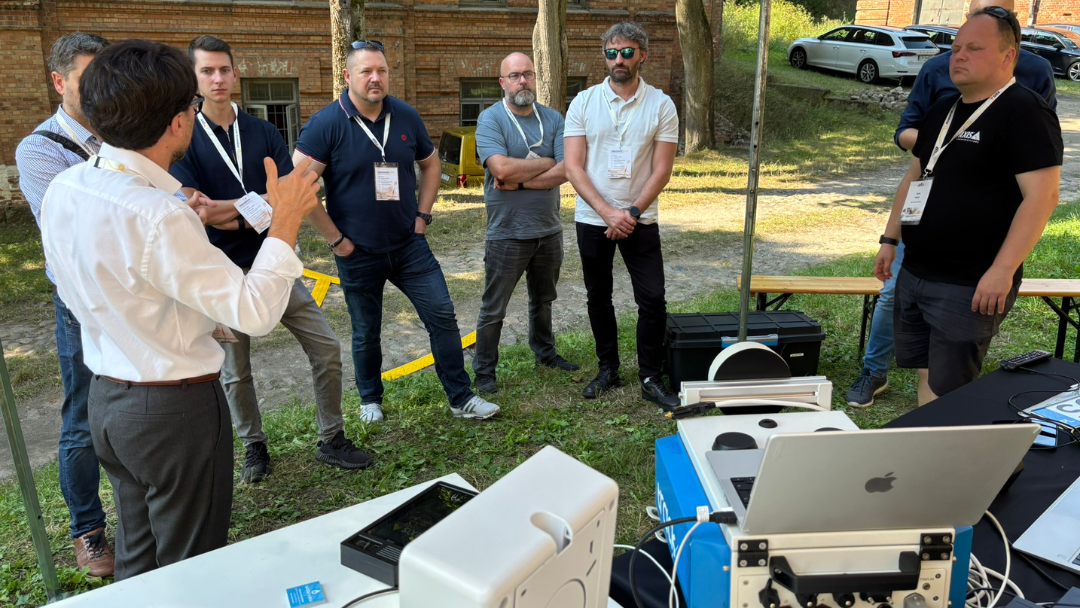
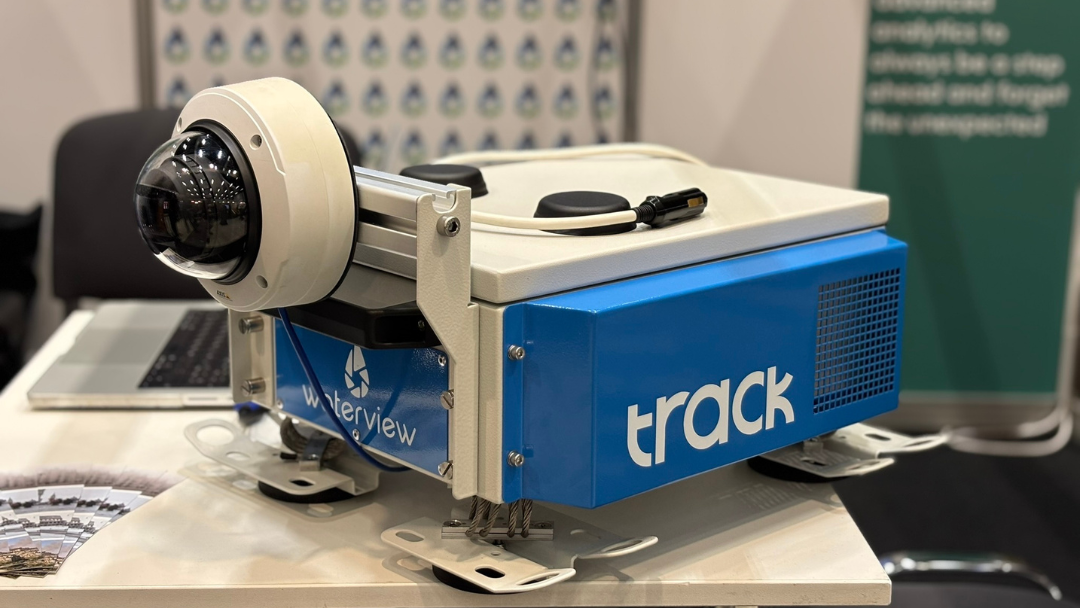
Cutting-edge AI for road management: the TraCK device
In parallel, WaterView participated with its own booth within the CEI Piemonte stand, where the absolute protagonist was TraCK, the device developed to flexibly equip vehicles intended for road monitoring. The unit exhibited at the fair attracted the attention of municipalities, industry professionals, and fleet managers for its ability to collect hyper-local data directly from cameras mounted on moving vehicles, guaranteeing unprecedented mapping of road conditions. TraCK performs a real-time inventory and monitoring of different road assets in urban and extra-urban environments, such as signs, horizontal road markings, streetlights. It also allows checking the interference of vegetation with the roadway and the presence of defects such as potholes and cracks on the asphalt. The collected data and identified anomalies can be stored on the on-board unit or transmitted in real-time thanks to the integrated SIM, and every supporting image attached to the notifications is anonymized, by obscuring any faces and license plates present within it.
TraCK thus allows for the optimization of road infrastructure inspection, efficiently planning repair or ordinary maintenance interventions, and reducing the overall costs of road management.
News


December 29, 2025

December 23, 2025
November 5, 2025
October 6, 2025
September 25, 2025
